Maps
Since its earliest days, Stillwater's setting has been captured in maps. Through this selection of historic maps, you can follow the city's growth and explore past places.
Interactive Map Viewer
View historic and modern maps together.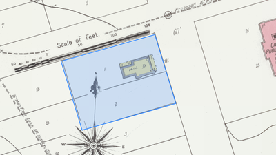
Search for a Location
See your address on the maps.Featured Maps
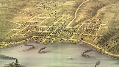
Bird's Eye View of the City of Stillwater
1870
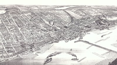
Panoramic View of the City of Stillwater
1879
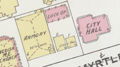
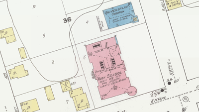
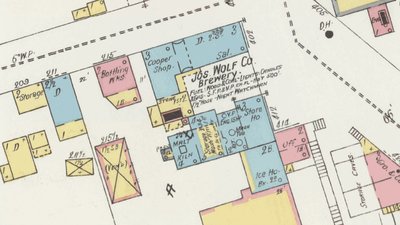
1891 Sanborn Fire Insurance
1891
Other Maps
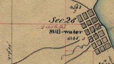
Public Land Survey
1847
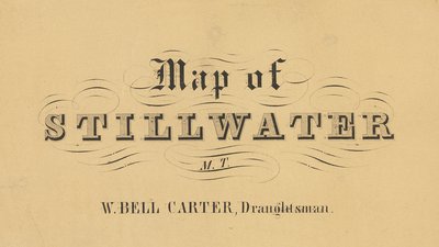
Map of Stillwater, Minnesota Territory
ca. 1856
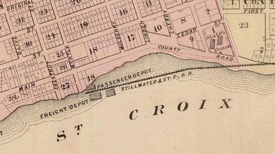
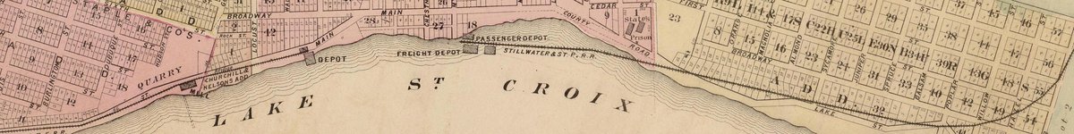
Stillwater Map from Andreas Atlas
1874
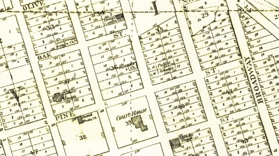
Perfected Plat
1878
1884 Sanborn Fire Insurance
1884
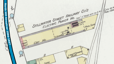
Stillwater Street Railway Co.
1886–1894
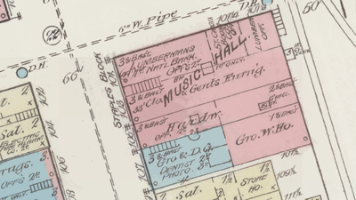
1898 Sanborn Fire Insurance
1898
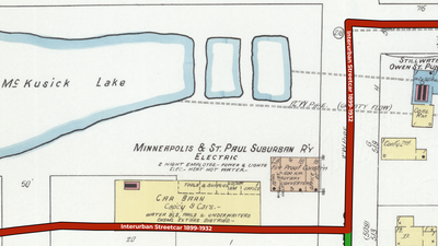
20th Century Streetcars in Stillwater
1899–1932

1904 Sanborn Fire Insurance
1904