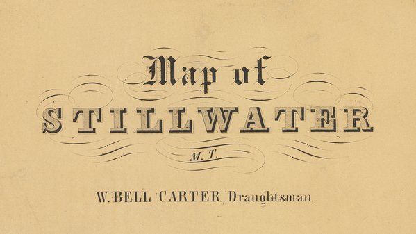
Map of Stillwater, Minnesota Territory
ca. 1856
This early map of Stillwater was most likely published sometime between 1855 and 1857. It shows building lots as well as some local landmarks such as the steamboat landing and four sawmills. The original Stillwater Lumber Company water-powered mill is at the center of town, with three newer steam-powered mills located to the north and south. The St. Croix River shoreline is significantly further to the west than today.
Map by W. Bell Carter, courtesy of the Minnesota Historical Society.

