Public Land Survey
1847
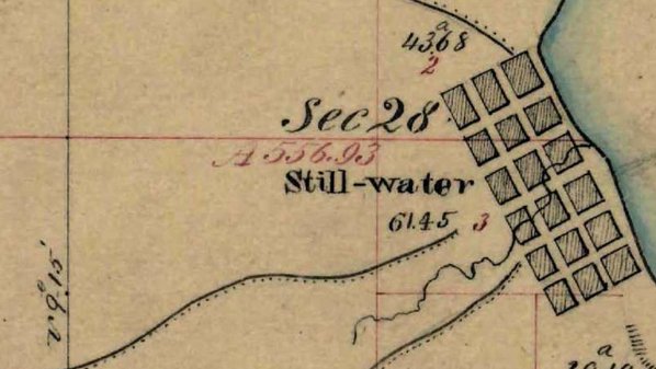
Today's property descriptions are based on a system enacted by Congress in the 18th century. The survey around Stillwater was completed in November 1847, when the town was just four years old. In addition to Stillwater itself, the map includes some landmarks such as William Boutwell's farm.
Though this map shows roads, those road locations are probably most accurate where they cross the horizontal and vertical grid lines.
Further Reading:
- "History of the Public Land Survey System" (State of Minnesota)